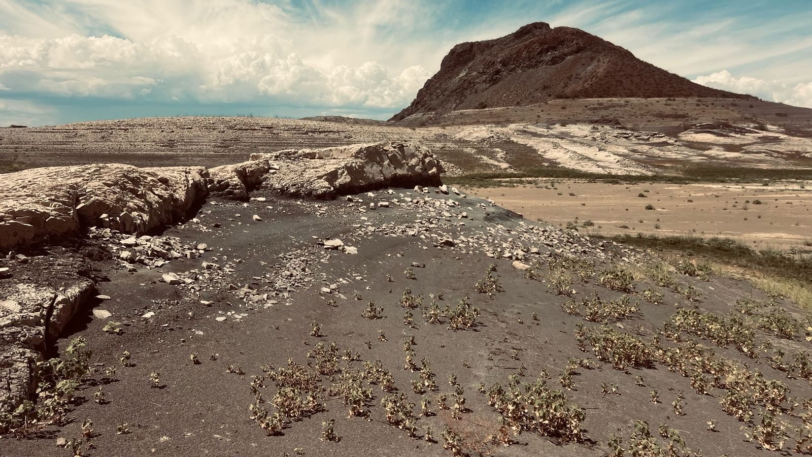
Elephant Butte, Sept 2026. The lake's namesake landmark now stands over dry, cracked lakebed that was underwater for most of the reservoir's history.
Is the lake coming back? Here's where things stand today, and how they compare to yesterday, last week, and last month.
of its full capacity of 1,985,900 acre-feet
As of — · the dashed lines mark 10%, 15% and 20% full. The gauge stops at 35% — a full lake would run far off the top.
Lake storage and elevation come from the U.S. Bureau of Reclamation's Elephant Butte gauge, with the Texas Water Development Board (Water Data for Texas) as the backup source. Surface area is published by the Texas Water Development Board; when its figure for a day isn't available yet, we estimate the area from storage using its storage-to-area readings and mark it with a “≈”. River inflow is from USGS. Tymmber Outdoor displays storage, elevation and inflow as published and does not measure or edit them. If a source posts a reading that doesn't make sense, we flag it at the top of this page.
What changed, and by how much
Each row shows today's number, then how far it has moved since yesterday, over the past week, and over the past month.
Elephant Butte sits in what used to be a river canyon — narrow down low, wider higher up. Near-empty, like it is now, the water is confined to that narrow channel bottom, so it doesn't take much volume to raise the surface several feet. The same gain that would barely move the shoreline at 40% full can move it noticeably at 2% full. One local recently described the lake as "up about 5 feet" — plausible, and worth checking against the numbers above rather than dismissing on instinct.
Cubic feet per second — one cubic foot is about the size of a basketball, so "300 cfs" means roughly 300 basketball-sized chunks of water passing a fixed point every second. It's the standard unit river gauges use, which is why you'll see it on USGS reports and other stream data. Late summer and fall are typically the low point for this stretch of the Rio Grande, since spring snowmelt has long since passed and monsoon rain is a smaller, less reliable source. This reading comes from USGS gauge 08358400 at San Marcial, the last stream gauge before the water reaches the lake, and is checked twice a day.

Projected days to reach…
Pick a trend window. A single day's swing and a 30-day average tell very different stories at a reservoir this depleted — that's the point of comparing them.
Does it match what you've heard?
Your senses and the grapevine are worth checking against the gauges. Here's how three common ones stack up today.
From snowpack to storage
A snowpack number describes the mountains, not the lake. Here's what happens in between — and why the cards below matter as much as the countdown above.
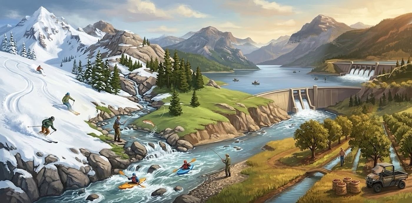
Snow falls in southern Colorado and northern New Mexico's mountains — a snowpack report only measures what's sitting up there. Before it can flow anywhere, meltwater has to soak through the soil first, and dry ground left over from a hot summer holds onto much of it, sometimes most of it, before any of it reaches a stream. What does become streamflow doesn't head straight for Elephant Butte, either — it passes through four upstream reservoirs first (Heron, El Vado, Abiquiu, and Cochiti), which have their own commitments to meet before anything moves further south: irrigation water for the Middle Rio Grande Conservancy District, senior water rights held by six Pueblo communities, and flow requirements to protect the endangered Rio Grande silvery minnow. Only what's left after those obligations are met continues downstream, where it then has to survive the trip through the Middle Valley: along stretches where the water table sits below the riverbed, the channel loses water downward into the ground the whole way, faster during drought. Only what survives all of that shows up as a gain at Elephant Butte — plus whatever monsoon rain falls directly into tributaries below the driest stretches, minus whatever evaporates off the lake itself. A normal snow year can still produce a disappointing lake year, because upstream commitments come first, and steps 2 and 4 carry their own multi-year debt that one good winter doesn't erase.
Snowpack Status
What's actually sitting in the mountains that feed this river, at three real stations — not a forecast, not an average across the whole range.
Water Release Explainer
Everything above is about what fills the lake. This is what deliberately empties it, on a schedule set by people, not weather.
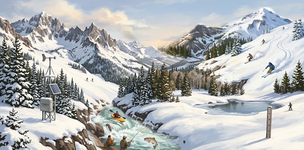
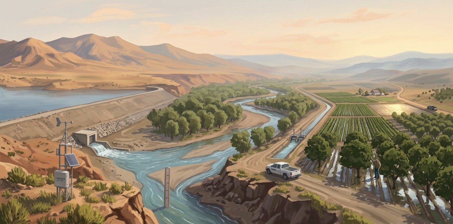 Late winter: water held back
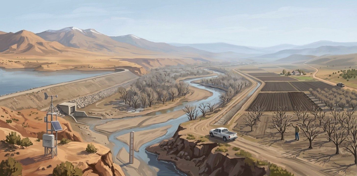
Summer: water released
The Elephant Butte Irrigation District (EBID) delivers Rio Grande Project water to roughly 90,640 water-righted acres across the Rincon and Mesilla Valleys — Sierra and Doña Ana counties — plus a contractual share that continues on to El Paso under the same century-old agreement. This is a different district from the Middle Rio Grande Conservancy District mentioned in the journey above: MRGCD draws water before it reaches Elephant Butte: EBID draws what's released after.
EBID
The lake doesn't hand water straight to farms. Elephant Butte releases downstream into Caballo Reservoir first, which re-regulates the flow so EBID can order exact amounts on exact days to match real irrigation demand, rather than farms trying to time their watering to whatever the dam happens to be doing.
The season itself is a decision, not a constant. The Rio Grande Project typically runs irrigation from mid-March to mid-October, but EBID's own board sets the real start date and that year's allotment — how many inches of water per acre farmers actually get — at a board meeting each spring, based on current reservoir storage and snowpack. A poor water year means a later start, a shorter season, and less water per acre; all three get voted on, not triggered automatically.
Practically, that means for roughly seven months of most years, the lake is working against a scheduled release even in a good year. Winter — November through February — is the one stretch where nothing scheduled is pulling in the other direction.
Season dates and allotments are board decisions announced a few times a year, not a live feed — this section gets checked and refreshed periodically, same as the Watershed conditions cards below. Source: Elephant Butte Irrigation District and NMSU Extension Circular 590. Questions about a given season's schedule: EBID's main office, 575-526-6671.
Watershed conditions
Snowpack tells you what fell in the mountains. These tell you how much of it is likely to actually reach the lake.
These four are what the countdown above can't see on its own — together they show what it would actually take for a normal winter to turn into a real recovery at the lake. Not wired to live sources yet — pulled from NWS El Paso and MRGCD reports as of Sept 2026.
The Bacon Academy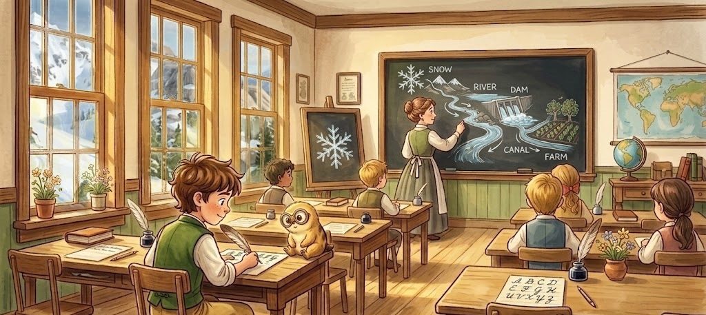 Click here to see how we turn this web page into a Lesson plan
Looking for the whole path, kindergarten through graduation? New Mexico Outdoor Water Education →
Brackish water desalination — under active discussion, no site proposed
New Mexico's 2025 Strategic Water Supply Act created state support for brackish-groundwater treatment, after a broader produced-water provision was stripped from an earlier draft amid opposition from both environmental groups and industry. Current state-backed work is a Middle Rio Grande Basin mapping study, a mobile pilot treatment unit, and a cattle-operation pilot in southeastern New Mexico — none of it sited in Sierra County.
Local legislative interest is real: District 38's Rep. Rebecca Dow has publicly argued that brackish and produced water should be "part of our future solutions" for industrial water supply. But no plant, funding commitment, or site has been proposed for this stretch of the river.
Realistic role, if it happens: a plant this size can't add meaningfully to the reservoir's physical volume, but it can reduce future municipal draw on Rio Grande allocation — which indirectly benefits farmers (less competition for surface water) and recreation (less added pressure on the lake going forward). See the full Brackish Water & Desalination briefing for cost breakdowns, case histories, and the regulatory landscape.
Worth sitting with: the municipal-offset case above isn't the only way this conversation could go. A dry riverbed doesn't just lose water — it has to be resaturated before any of it can pass through, every single time. What if the highest use for a plant like this isn't standing in for the lake's supply at all, but priming the channel ahead of it — using treated water to wet the ground the real snowmelt still has to cross?
What you can do
None of this is only a story about mountains and gauges — decisions made much closer to home affect how much water stays in the system for farmers, water consumers, and recreation alike.