As of October 3, 2026 (Water Data for Texas). Open Lake Level Watch for the current number.
- Storage
- 63,341 acre-feet
- Water level
- 4,288.39 ft
- Surface area
- 3,530 acres
- Inflow
- 1,200 cfs
- Since yesterday
- +3,284 acre-feet
- Since last week
- +27,939 acre-feet
- Since last month
- +35,674 acre-feet
Lake Level Watch generates the numbers. The Water Thread tells the story and builds the lessons. This page is the trailhead: pick the stage that fits, follow the Water Thread, and use the evidence ladder to judge any claim. Older students can follow one of three trails: Science, Industry and Recreation, or Policy. Figures come from the linked sources and are dated. Items marked "In development" are planned but not built yet.
"Outdoor water" here means water in nature and the work of knowing, managing, and enjoying it: snowpack, rivers, lakes, and aquifers. Utilities use the same words for landscape irrigation, which is about 30 percent of household water use nationally and up to 60 percent in dry climates (EPA). That use is one of the first measurements the page asks students to take, and it leads indoors: treatment plants, laboratories, and courtrooms are where outdoor water is checked, treated, and argued over.
Why This Exists — The Starting Line
Every glass of water starts outdoors. It falls as snow on a mountain, runs down a river, fills a lake, moves through a canal, and arrives at a tap, a field, or a factory. This thread follows that path, from the first question a young child asks to the work, study, and decisions of a graduate. Four findings shape the design. Each is sourced at the end of the page.
- What the research shows
- In one US survey of 457 college students, 19.9 percent did not know their local water source. A review of the research reports that most students do not know where their drinking water comes from or how it is treated. A study cited in a 2021 paper found only 11 percent of participants reached the highest level of water literacy.
- What the data shows
- New Mexico's four-year graduation rate reached 78.04 percent in 2024 and 80.6 percent in the latest state report, against about 87 percent nationally. Of 2023–24 graduates who entered a New Mexico public college as first-time freshmen, 41.1 percent needed remediation. On the 2024 national assessment, 14 percent of New Mexico eighth graders were proficient in math. These numbers describe where the state starts, not what students can do.
- What the data shows
- In 2020, the New Mexico Environment Department said that more than 33 percent of certified water treatment operators were over 60. Nationally, the Bureau of Labor Statistics projects about 10,000 water and wastewater operator openings a year, with a 2025 median wage of $60,020.
- What exists
- UNM offers a Master of Water Resources with Hydroscience and Policy and Management concentrations. NMSU's Water Science and Management program offers M.S. and Ph.D. degrees with five concentrations: agricultural water resources, watershed, riparian, and aquatic systems, water quality and treatment, water economics and policy, and water informatics.
This thread points at the University of New Mexico and New Mexico State University. They are the state's two largest universities (23,406 and 15,471 students in fall 2024), each offers a dedicated graduate water program, and each sits on the Rio Grande: UNM in Albuquerque and NMSU in Las Cruces. Their water degrees lead toward the work this thread is built for: studying, managing, treating, and making policy for water in New Mexico.
This is a starting point, not a boundary. New Mexico's other universities, its community colleges, and its trade programs also teach water, and later threads may align with them.
Water programs for K–12 students already exist in New Mexico, for example from the Albuquerque Bernalillo County Water Authority and UNM's Center for Water and the Environment. This thread is built as one continuous path, from the first question to the last.
Start Where You Are — Four Stages
The thread begins with the youngest students and adds knowledge and harder questions each year. Every age walks the same main trail, the Water Thread. The three trails open in the upper grades. Lessons are written for age bands, so a teacher or parent can place a lesson in the grade that fits. The stages are the Bacon Academy's: Formational, Foundational, Directional, and Alumni. The four stages in full.
- Where did the puddle go?
- Where does the water in a pond go when the pond is gone?
- How can we tell the lake changed if we only visit once in a while?
Students sketch and tell what they see, follow ponds, streams, rivers, lakes, seas, and oceans, keep a class rain gauge, and graph six weeks of lake level. In Grade 4 they begin reading gauges and using units.
- How much is a cup, a bucket, a bathtub, and a lake?
- If the river starts in Colorado, whose water is it when it gets here?
- Who keeps track of the water in your town, and how?
Students read gauges, convert units, run fair tests, build a watershed on a tray, and make a first water balance sheet.
- How do we tell a good claim about water from a popular one?
- When a slogan about water spreads, who checked it?
Students place claims on the evidence ladder, study groundwater and aquifers, run a water quality lab, and write a public comment.
- When water is short, who decides?
- What would you build to measure or save water?
- What do we owe people downstream, and what is the official story?
Students study water law and hold a mock hearing, build and publish a sensor, work through fairness cases, and defend a capstone with data. The three trails open here.
- Which water jobs are outdoors, and which are indoors?
- What would a first year in a water program, a trade, or a venture look like?
A graduate carries the thread into work, college, or a venture of their own. The page points at the water programs at the University of New Mexico and New Mexico State University, and community colleges and trade programs also teach water. Every graduate holds a target, a pivot, and a fallback plan.
The Water Thread — Five Arcs, One Story
The Water Thread follows a drop of water from snowfall to the dinner table and then to the people who work with it. Each arc has its own lens. Read the Water Thread.
- Lens
- An ecosystem. How mountain snow becomes a river and who lives along it.
- Lens
- The technology. The gauges, stations, and sensors that turn water into numbers.
- Lens
- A home and a bank. A reservoir is a place for wildlife and recreation and a store of water.
- Lens
- Transportation, production, consumption. How water reaches farms and ranches and becomes food.
- Lens
- The jobs and the future. Who works with water, and what comes next.
How We Know — Instruments That Measure Water
The Rio Grande inventory lists 83 entries, from Colorado snow stations to the stream gauge at El Paso: stream gauges, snow stations, reservoir records, canal and diversion measurements, weather and rain networks, groundwater programs, seismometers, satellites, and wildlife counts. The first US Geological Survey stream gauge was installed at Embudo, New Mexico, in 1889, and it is still on the river.
Instruments measure water, not people. Where people take part, as students or volunteers, they collect data about nature. Five questions separate a river gauge from a tracker, and students learn to ask them of any technology.
- What does it measure?
- Who runs it, and who pays for it?
- Who can see the data?
- Does it collect anything about people?
- Can a person find out it is there, and why?
An illustrated map of the instruments along the river, with a public notice of which trails have cameras and why.
The River — Six Reaches, Headwaters to the Texas Line
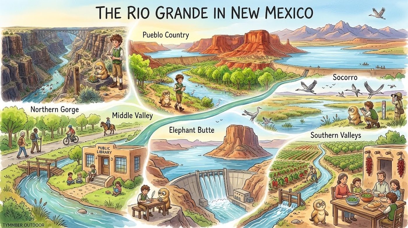
The New Mexico stretch of the Rio Grande is divided into six reaches. The Colorado headwaters are the opening: where the water begins before it enters New Mexico. Each reach lists its towns, its history, and what a visitor, student, or local business can do there.
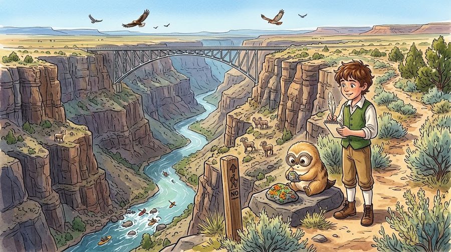
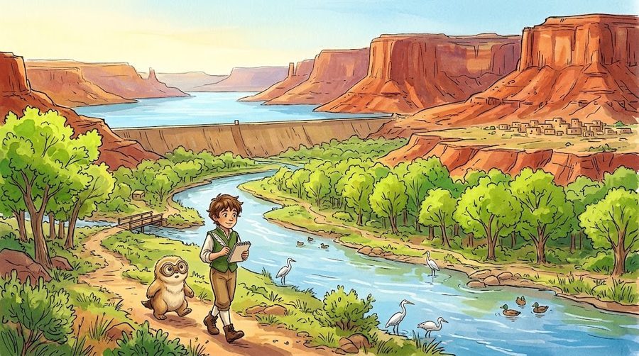
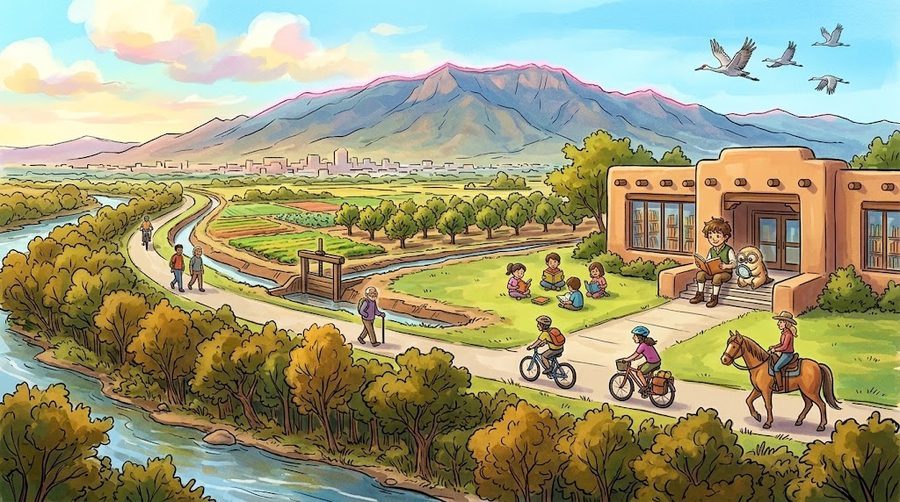
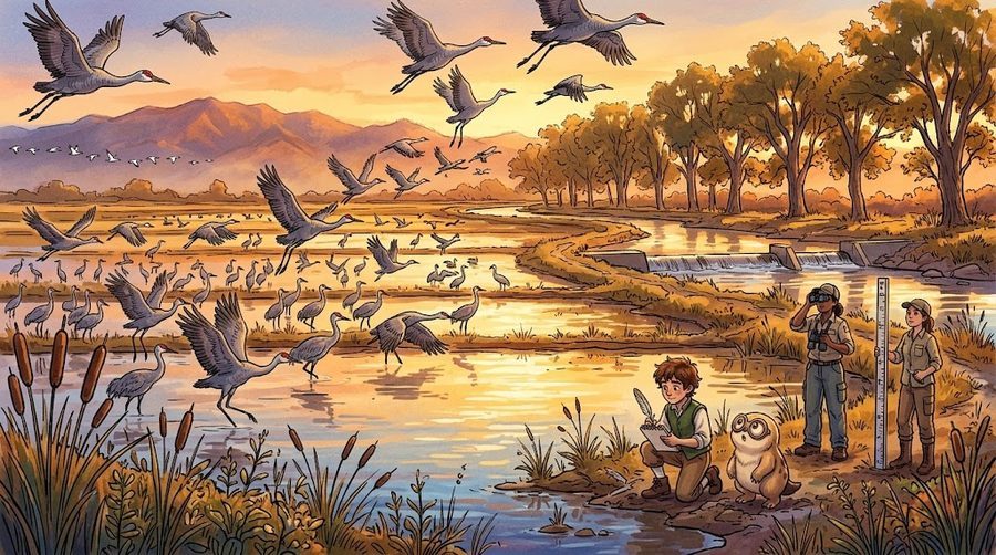
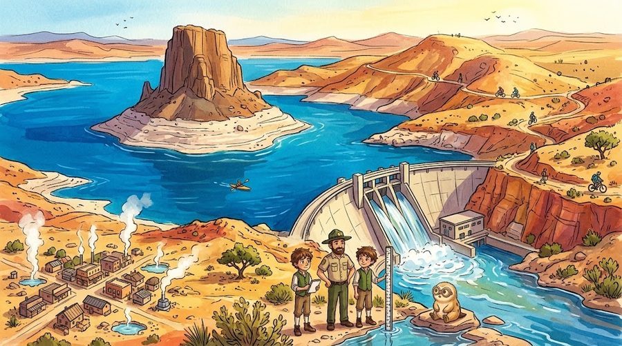
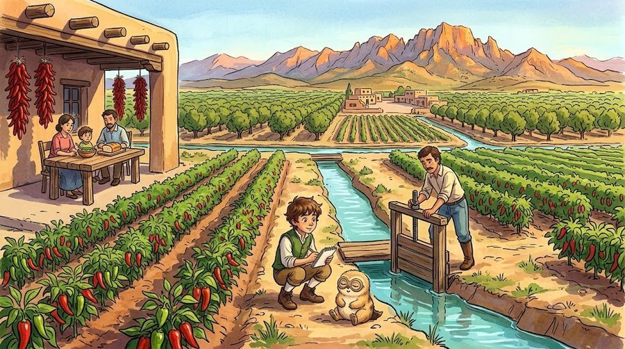
The full reach-by-reach companion: towns, trails, history, and the instruments along each stretch.
The Three Trails — Science, Industry and Recreation, Policy
In the upper grades, the main trail splits into three. A trail is a field of work. Each can be entered at 18 through work, college, or a venture of the student's own.
| Trail | Work at 18 | College and Beyond | Venture |
|---|---|---|---|
| Science | Hydrologic or lab technician, water sampling technician | Hydrology, geoscience, engineering, then a master's in water resources or water science | Sensor and data services |
| Industry and Recreation | Operator-in-training, irrigation crew, guide, outfitter or marina staff | Engineering, agriculture, recreation or hospitality management | Outfitter, guide service, event business, water technology |
| Policy | Ranger or interpreter, program aide | Political science, economics, pre-law, or a master's policy concentration | Advocacy or education nonprofit, consultancy |
- Who hires
- Agencies that measure and study New Mexico water include the US Geological Survey, the Bureau of Reclamation, the Natural Resources Conservation Service, and the New Mexico Environment Department.
- Where to study
- UNM's Master of Water Resources and NMSU's Water Science and Management programs. UNM lists Calculus I (and II for Hydroscience), statistics, microeconomics, and three semesters of introductory science among its prerequisites. NMSU's Masters Accelerated Program lets qualified juniors and seniors begin graduate coursework while finishing a bachelor's, for both degrees in as little as five years.
- How to start
- New Mexico operator certification at every level requires a high school diploma or GED, training credits, and experience. Water association job postings list assistant operator, operator apprentice, and laboratory technician roles.
- Ventures
- NMSU's Arrowhead Center runs accelerator programs, and the state's Strategic Water Supply grants fund brackish water projects. Outfitters, guides, parks, and event businesses are the recreation side.
- Who hires
- State agencies include the Office of the State Engineer, the Interstate Stream Commission, and the New Mexico Environment Department, along with nonprofits, foundations, and think tanks.
- Where to study
- UNM's policy and management concentration, political science, economics, and law. In May 2026 the US Supreme Court adopted a final decree ending Texas v. New Mexico, a live case study in water law and policy.
Core for every graduate
- Reads a hydrograph, a water balance sheet, and a map.
- Explains who owns water in New Mexico and who decides how it is shared.
- Runs a fair test and places a claim on the evidence ladder.
- Makes and defends a water decision from evidence.
A 20-question self-check for older students, with a shorter version for younger ages.
The Evidence Ladder — Telling Measured Facts from Early Research and Local Lore
Every claim in the lessons carries a label. The labels let measured facts, early research, and local experience sit side by side without being confused. Nullius in verba: take nobody's word for it.
| Label | Meaning | Example |
|---|---|---|
| Measured | An instrument recorded it. | The snow water equivalent at a mountain snow station. |
| Replicated | Independent groups have reproduced the result. | A finding confirmed by several laboratories. |
| Emerging | Early results that have not yet been replicated. | New research still under review. |
| Contested | The evidence is disputed. | Cloud seeding. Some programs report snowfall gains of roughly 8 to 12 percent. A 2003 National Research Council report found no scientific proof, while the 2017 SNOWIE field project documented the first quantitative evidence. |
| Local lore | Experience passed down and not yet tested. | Growers' view that the valley's water and soil shape the flavor of its chile. |
For Teachers, Parents, Students, and Employers
- What it will be
- Lessons by age band, each with a Big Question and skill checkpoints, so a lesson can be placed in the grade that fits.
- What it will be
- A planned roster of water employers who would give a graduate a first look at an entry-level opening, and an internship wall of summer and holiday opportunities. No commitments have been made yet.
- What it will be
- The self-check described in section 6.
Common Questions
Each answer is grounded in a specific fact from this page so it can be checked.